Reference
PA00135165
Latitude
44.670917
Longitude
0.403861
Address
20 Route de la Galinière 24500 Eymet
Construction era
Moyen Age
Protection date
1995/11/16 : inscrit MH
Protection cause
Pont, y compris son emprise sur la voie communale numéro 2 (cad. non cadastré, domaine public) : inscription par arrêté du 16 novembre 1995
Description
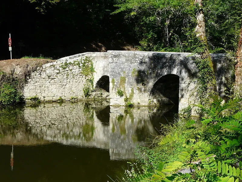
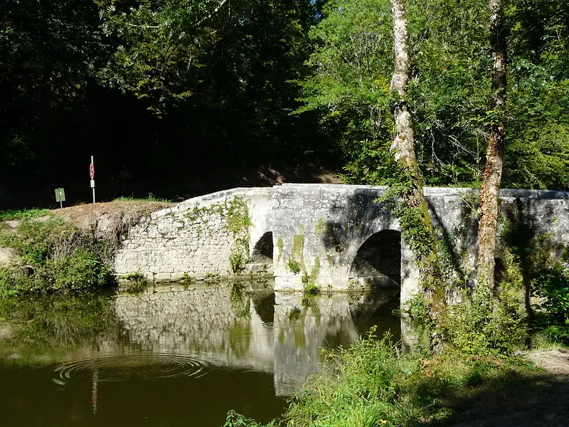
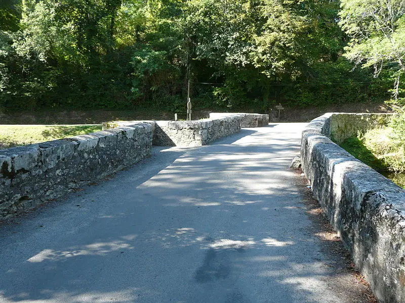
The Bastide d'Eymet is located in a Dropt curve. A bridge was built to allow you to cross the river, thus offering access to Bergerac. This bridge, named Bretou, also known under the names of Pont Romain, Vieux Pont or Pont Neuf, is probably located at the place of an old ford. It consists of three extra -subsembled arches, the smallest of which makes it possible to deviate the waters of the main current thanks to an island which serves as a third point of support for the structure. The bridge is slightly curved to deal with the current. It has two pre-BECS, one of triangular shape and the other of rectangular shape, which serve as refuges for pedestrians.